Map and tips
All our tips on the map
Restaurants, lifts, the waterfall and the best day trips: everything we recommend on this site, on one map.
Interactive map
What is where?
Click a point for more information and directions. The map only loads when you press the button.
Map of Jochberg and the surrounding area
Loading the map connects your browser to OpenStreetMap (map images) and unpkg.com (map software).
- Ski area
- Food and drink
- Sights
- Day trips
All places
Ski area
Wagstättbahn
The gondola from the village up into the KitzSki ski area. In service since 7 December 2013.
Resterhöhe
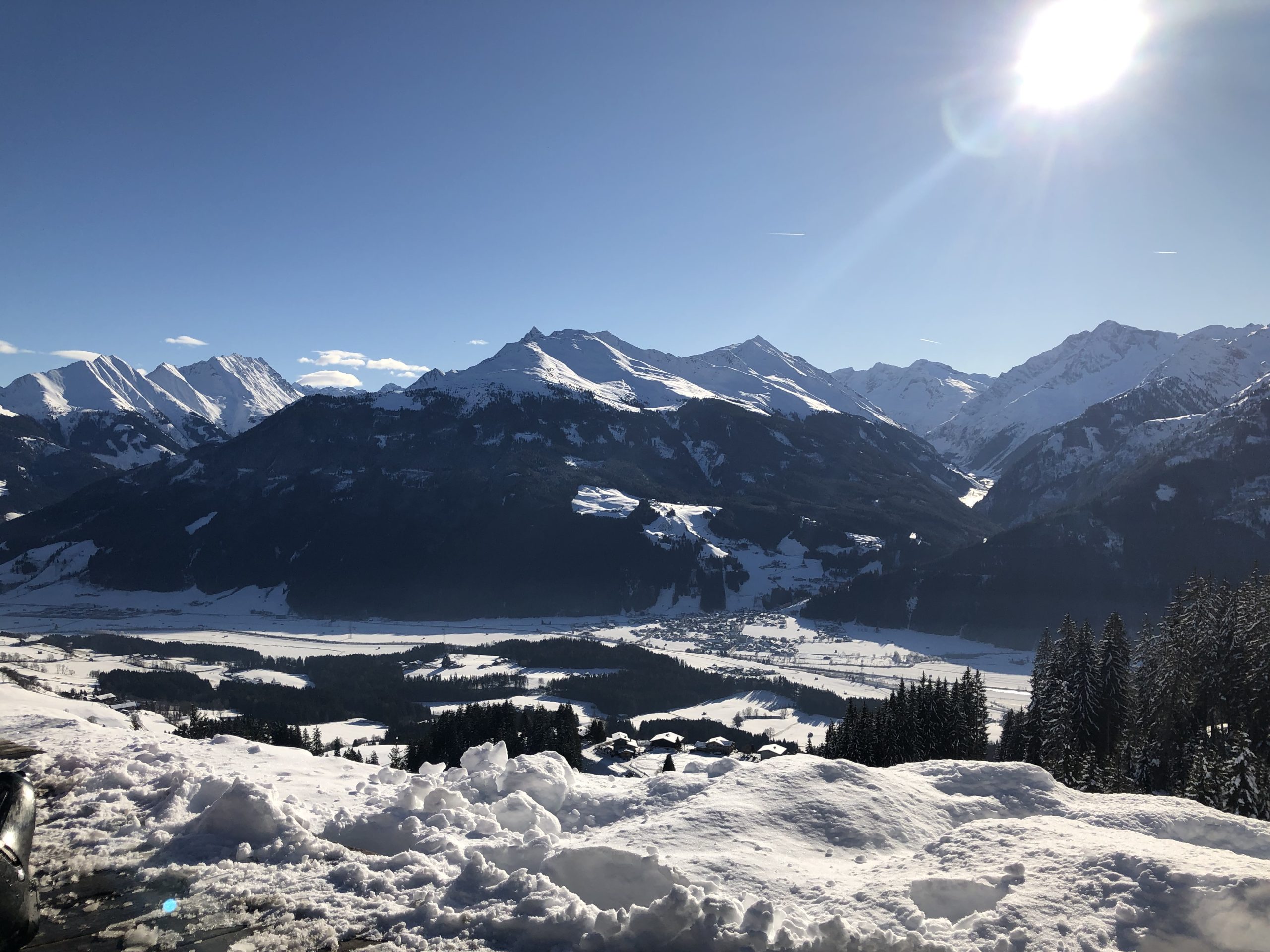
The ski area at the Pass Thurn, with views of the Hohe Tauern. The ski season often starts first on the Resterkogel.
Skischule Jochberg
Ski lessons for children from 3 and adults, snowboard lessons and ski rental.
Hahnenkammbahn and the Streif
The valley station of the Hahnenkammbahn. A few hundred metres away is the finish of the Streif, the most famous downhill in the world. The Hahnenkamm race is held here every January.
All places
Food and drink
Krimbacher
Family business since 1919. Tyrolean dishes, pizza and homemade cakes, with bacon and sausages from their own butcher’s shop.
Dorfstub’n
Cosy restaurant in the village centre, run by the Pichler family in the second generation. Known for its “Wiener Art” schnitzels.
Gasthaus Bärenbichl
Traditional inn on the slope above the village, with homely Tyrolean cooking. Booking a table is recommended.
Gasthof Jodlbühel
Country hotel on the road to Kitzbühel, serving Austrian classics such as Wiener schnitzel and Kaiserschmarrn.
Gasthof Alte Wacht
Atmospheric wooden inn on the road to the Pass Thurn. A small menu of fresh, honest regional dishes.
Genussbehörde s’Amtl
Coffee and homemade cake during the day, a drink among the locals in the evening.
Panorama-Alm
Mountain hut on the slopes west of the Resterhöhe.
Pinzgablick
Mountain hut at the top of the Resterhöhe, by the top station on the Resterkogel.
Hofalm
Hut right by the valley station of the Wagstättbahn.
All places
Sights
Village church and Wolfgang spring
The baroque village church of 1752 with its onion dome. In the Gothic Wolfgang chapel you can touch the water of the old pilgrimage spring.
Sintersbacher Wasserfall
85 metres high, about an hour’s walk from the Schradlern car park. At its best in spring, after the snowmelt.
Pass Thurn
1,274 metres high, on the border between Tyrol and Salzburg. For centuries salt was carried over the old mule track.
Kelchalm
Copper was mined here some 3,000 years ago: one of the oldest mining areas in Tyrol.
Schwarzsee
The lake just outside Kitzbühel, where you can swim in summer.
All places
Day trips
Kitzbühel
The medieval town with its colourful façades, shopping streets and the Hahnenkammbahn.
Krimml Waterfalls
At 380 metres, the highest waterfalls in Europe.
Zell am See
The lake framed by mountains, the promenade and the Schmittenhöhe with views of the Hohe Tauern.
Grossglockner High Alpine Road
The toll road to the Grossglockner, at 3,798 metres the highest mountain in Austria. Usually open from early May to early November.
Salzburg
The baroque old town is a UNESCO World Heritage Site, with Mozart’s birthplace and the Hohensalzburg Fortress.
Innsbruck
The capital of Tyrol, with the Golden Roof and the Nordkette cable car.
Map data: © OpenStreetMap contributors. Some place names and positions come from the BEV (Austrian Federal Office of Metrology and Surveying, CC BY 4.0).
Also useful